Work on the Population Map continues. Below are some test renders from last night. Click for high-resolution images.
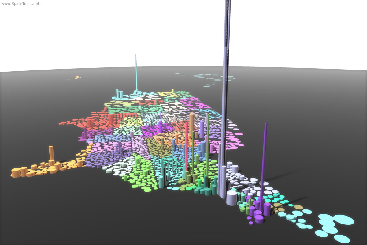
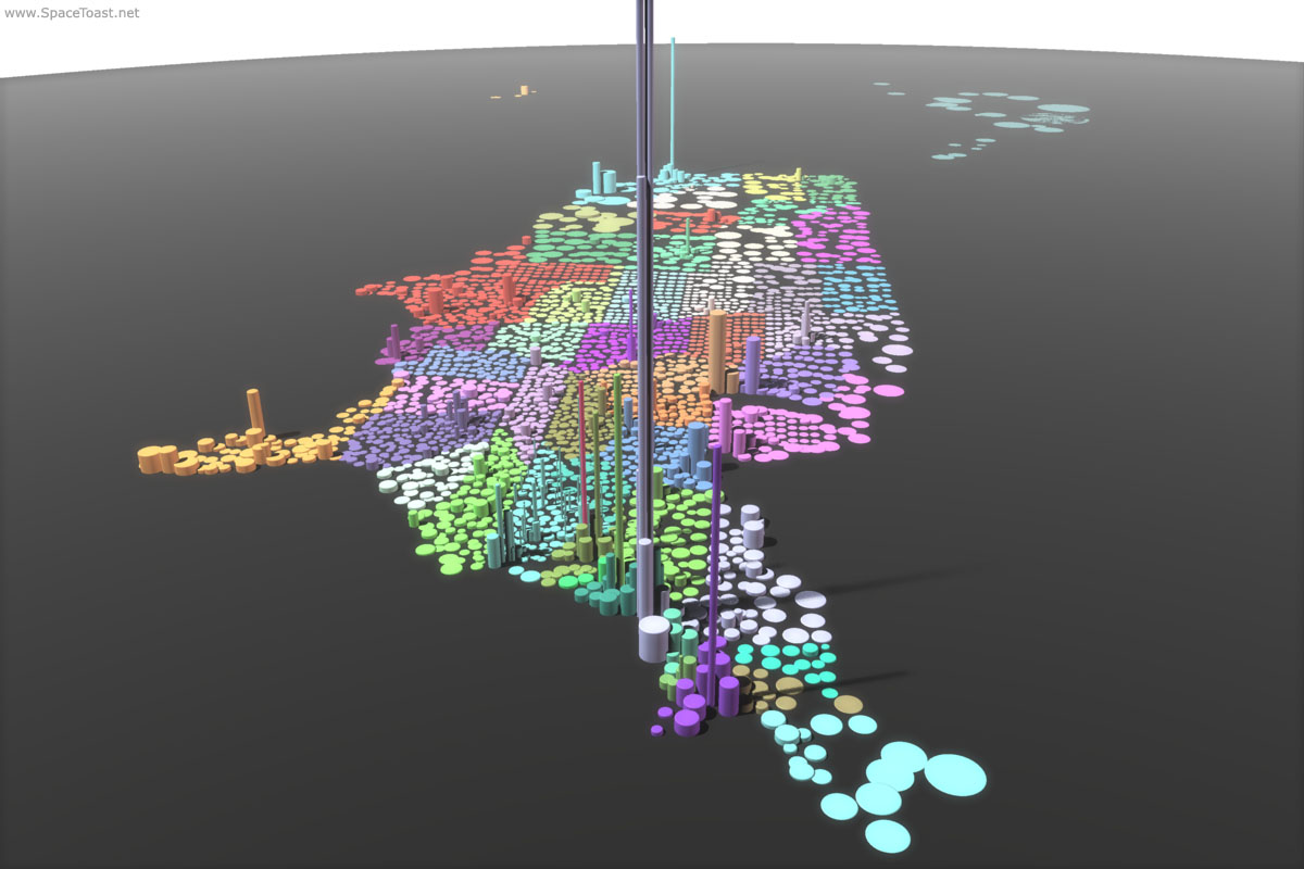
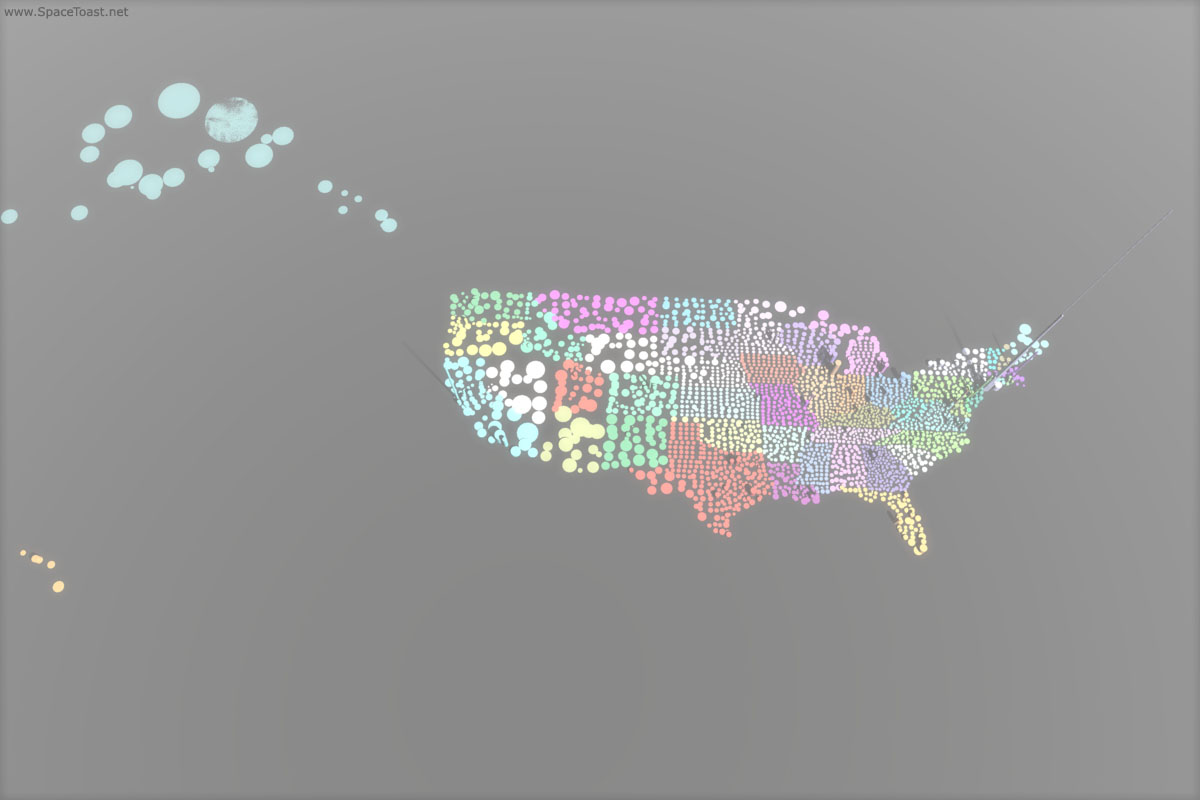
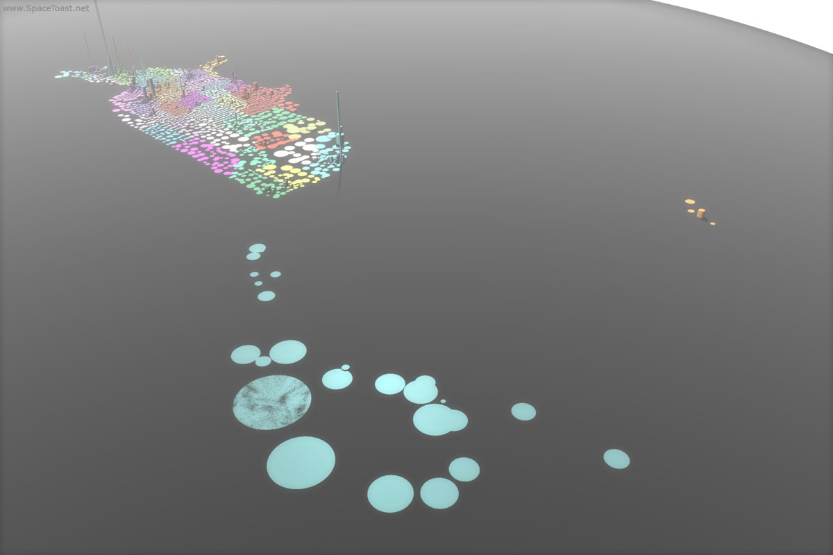
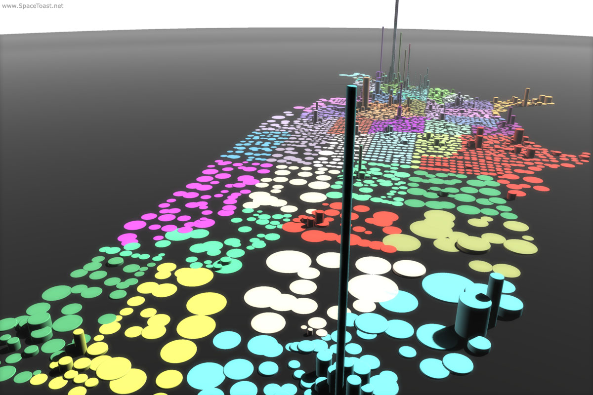
The Animation:Master project file is 5.5MB in size, culled from about 7.5MB of data. Some of the random colors chosen by the script make neighboring states hard to distinguish, which will be corrected in jEdit with find/changes. The enormous Yukon/Koyukuk Census Area in Alaska, with an average of one person every 22.5 square miles, is so close to the ground plane that it’s causing the software to glitch. The fill lighting is perhaps a bit too strong while facing west, and the key a bit dingy overall.
Griping aside, this project is coming along well in my opinion.